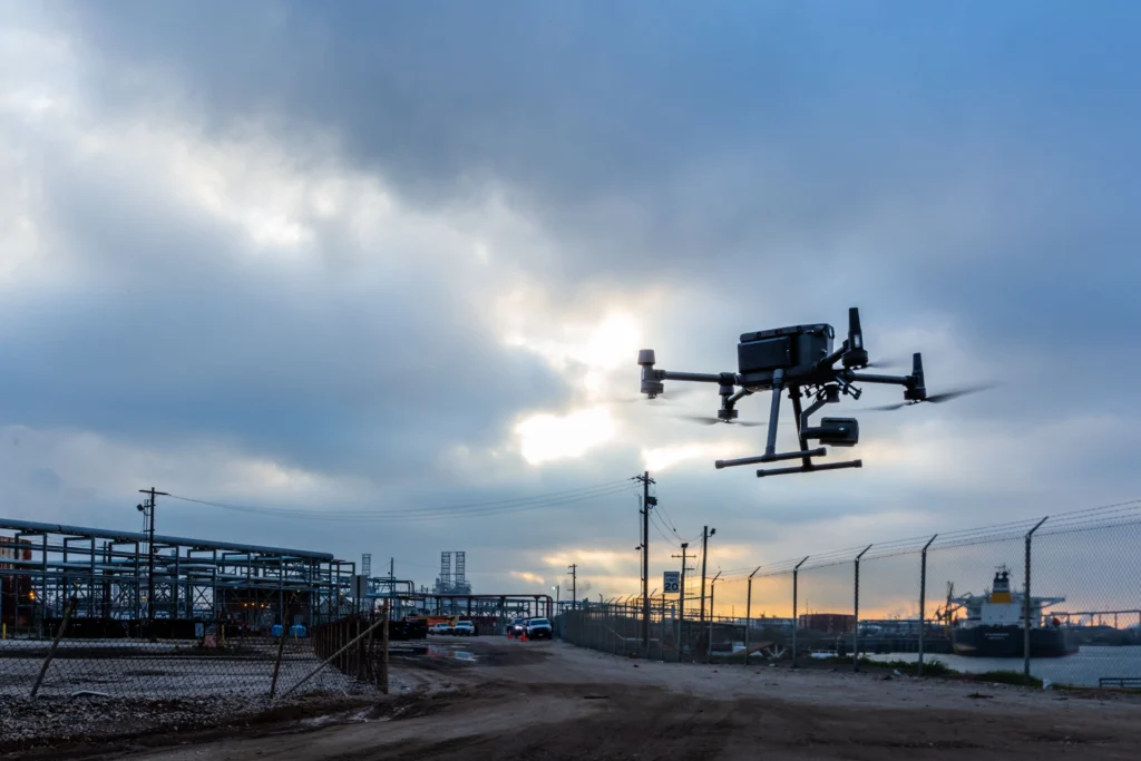
Our services encompass mapping, inspection, and monitoring in the fields of energy, industry, infrastructure, and agriculture.
We understand the unique needs of each industry and client, providing tailored solutions.
Mapping
The advantage of mapping using unmanned aerial vehicles lies in the ability to achieve significantly higher levels of project detail, consuming far less time while achieving optimal accuracy.
LiDAR technology employs laser scanning to create 2D-3D terrain models and develop a digital twin.
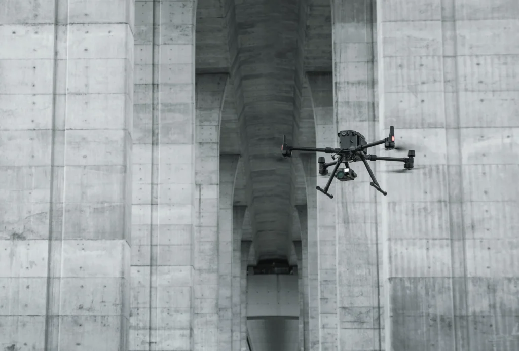
Utilising unmanned aerial vehicles with high-quality sensors, we capture millimeter-resolution images for documenting cracks and other physical damages. Our technology facilitates more efficient identification of potential issues, enabling timely interventions and maintenance optimisation. Visual and thermal inspections cover various terrains, objects, and inaccessible elements like chimneys, flares, silos, and roofs. GridX provides efficient solutions that save time, money, and other resources.
For GridX, monitoring represents a continuous process of collecting, analysing, and interpreting data in real-time. Through meticulous observations, we analyse conditions, identify potential challenges, and provide information crucial for efficient resource management. GridX monitoring solutions enable precise infrastructure monitoring, helping clients in decision-making processes and ensuring optimal resource utilisation.