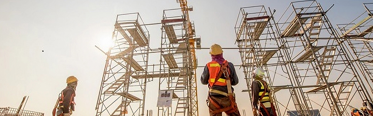
GridX provides advanced solutions for mapping, inspection, and monitoring of various infrastructure assets, utilizing cutting-edge technologies such as drones, LiDAR systems, thermal cameras, and analytical platforms. Our solutions enable precise mapping and analysis of roads, bridges, overpasses, railways, and other critical infrastructure components. By combining innovative technologies with expert approaches, we facilitate the identification of potential issues, optimize maintenance, and enhance the safety and longevity of infrastructure assets. Our solutions are tailored to the needs of various industries, allowing clients to make informed decisions and mitigate risks.
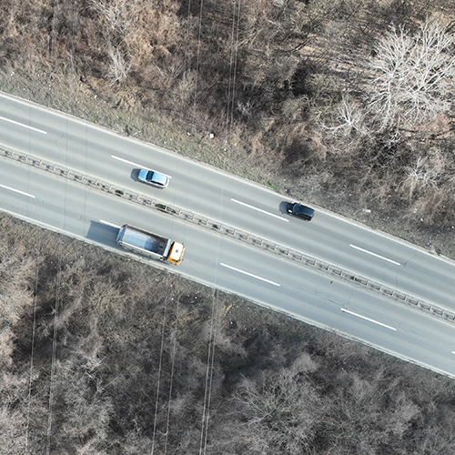
Precise mapping and inspection of roads and highways are essential for maintaining safety and optimizing traffic flow. Our drones equipped with advanced sensors enable detailed analysis of damages, cracks, and surface irregularities, while analytical platforms provide data for long-term maintenance planning. LiDAR systems deliver accurate mapping of road geometry, facilitating the design of new roadways and assessment of existing infrastructure conditions.
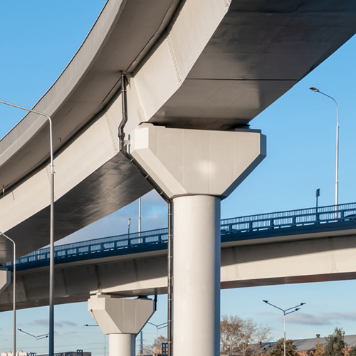
Bridges and overpasses require regular inspections, and our drones equipped with thermal cameras, LiDAR technology, and IoT sensors enable monitoring of structural damages and provide real-time data for preventive maintenance. IoT sensors continuously track vibrations, loads, and temperature changes, allowing early detection of potential issues. Our technology helps extend the lifespan of structures and reduce maintenance costs through a more efficient approach to planning and analysis.
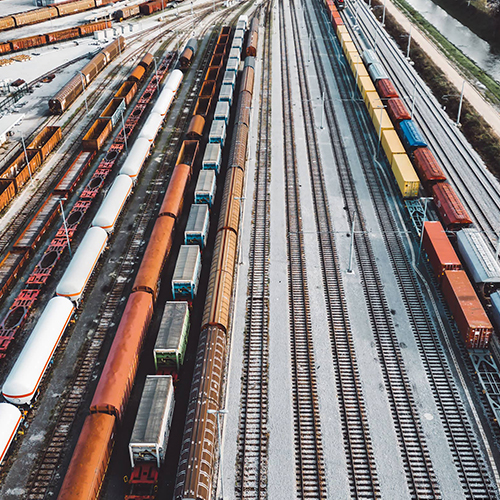
Railway infrastructure requires precise monitoring and inspection to ensure safety and efficiency. Our solutions enable detailed mapping and tracking of stations, tracks, tunnels, and bridges using drones, LiDAR technology, and other advanced sensors. This approach allows for the rapid identification of potential issues, optimization of maintenance costs, and extension of infrastructure lifespan.
GridX technologies ensure the safety, efficiency, and longevity of infrastructure assets, providing you with the tools to enhance management and make informed decisions. GridX has completed projects for the development of transformer substations (KTP) for planned solar power plants.
Unesite svoj pojam za pretragu u polje ispod kako biste brzo pronašli sadržaj koji tražite. Pritisnite ‘Enter’ ili kliknite na dugme za pretragu da biste videli rezultate.