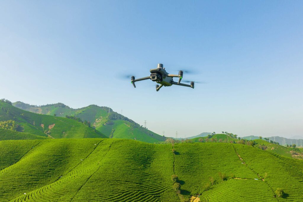
Drones in agriculture serve as tools for mapping and monitoring, enhancing the productivity and sustainability of agriculture and forests.
UAV Application
AGRICULTURE
GridX utilises drones for mapping and inspection of forests, parks, hunting grounds, fish ponds, and similar terrains. UAV provides thermal images, aerial photographs, and topographic data, facilitating aerial observation and precise planning based on 3D maps. LiDAR technology is used to measure tree height and identify trees. Multispectral mapping provides data on plant health, tracking photosynthesis, moisture levels, and other factors crucial for crop growth and forestry. The collected data assists in issue identification and resource optimisation, while thermal maps facilitate irrigation planning. Drones aid in monitoring illegal activities and supporting forest needs such as forest spraying and pest protection.