
Terrasolid software represents cutting-edge solutions for processing LiDAR data, photographic imagery, and spatial information, enabling professionals across various industries to accurately model, analyze, and visualize complex projects. Whether it's surveying, infrastructure planning, inspection, or terrain mapping, Terrasolid tools provide essential flexibility and precision. These software solutions allow for automated processing of large datasets, integration of diverse data sources, and the creation of detailed 3D models to support informed decision-making. With an intuitive interface, a rich set of features, and high adaptability, Terrasolid optimizes workflows and reduces work time, giving professionals the tools they need to tackle the most demanding challenges in spatial analytics and modeling.
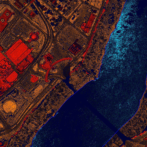
TerrasolidScan is an essential software for professionals working with LiDAR data. Its advanced functionality allows users to classify, filter, and analyze point clouds to generate accurate 3D models of terrains, vegetation, buildings, and infrastructure.
The software supports a wide range of tools for detailed processing, including automatic surface recognition, point classification based on height, color, or reflectance, and object detection such as power lines and poles.
With TerrasolidScan, professionals can process large volumes of data quickly and accurately, making it an ideal solution for surveyors, engineers, and urban planners.
TerrasolidPhoto is specialized software for processing photographic data, enabling georeferencing and integration with LiDAR data. It is designed for users looking to combine high-resolution images with spatial information to create detailed orthophoto maps and 3D models.
With tools for perspective correction, color adjustment, and distortion removal, TerrasolidPhoto ensures that photos are precisely aligned with spatial data.
The software is particularly useful for mapping urban and rural areas, inspecting infrastructure, and analyzing terrain across various industries.
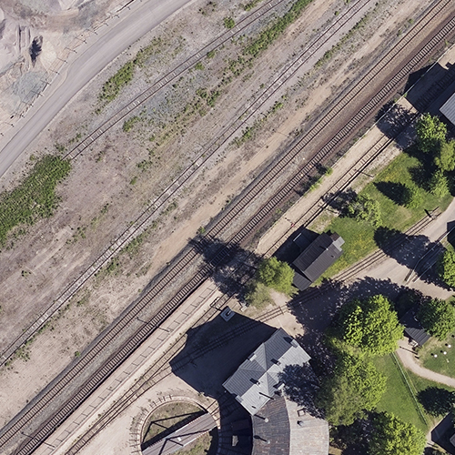
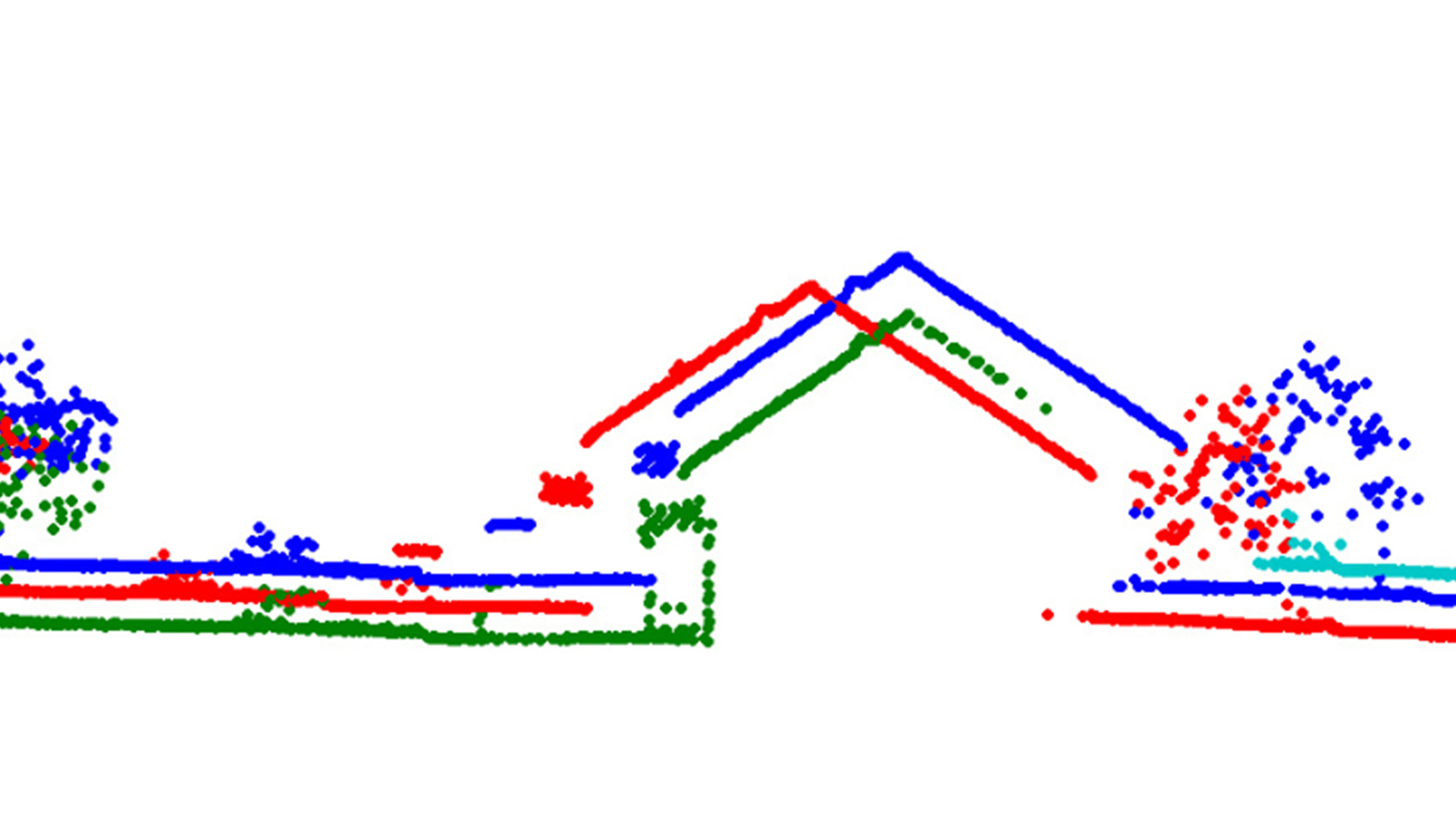
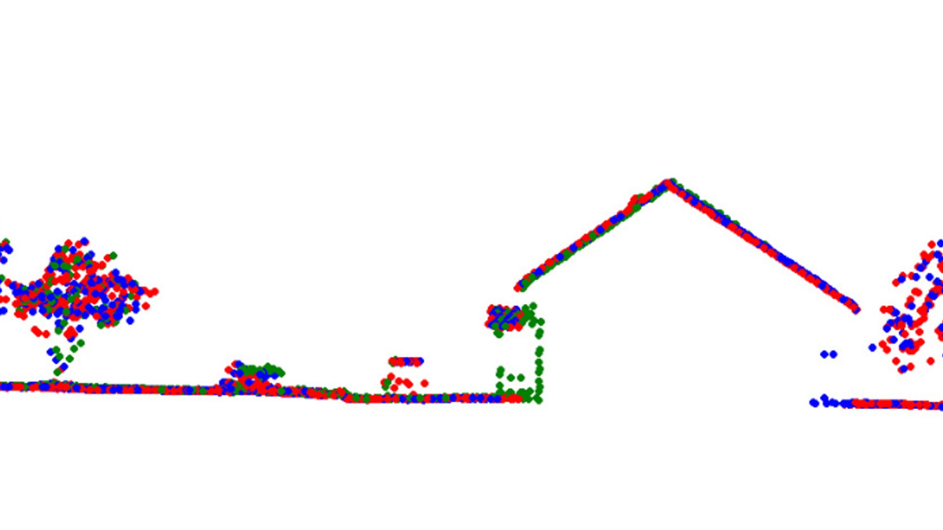
TerrasolidMatch is a powerful tool that enables precise alignment of data from different sources, including point clouds, aerial photographs, and satellite images. The software is designed to optimize data consistency, ensuring accurate and reliable results in complex projects.
This functionality is ideal for integrating multiple datasets from various collection methods, achieving higher precision in modeling and analysis. TerrasolidMatch is a critical tool for projects requiring the combination of diverse technologies, such as urban planning, infrastructure inspections, and surveying.
TerrasolidModeler offers powerful tools for generating detailed and complex 3D models of terrains, infrastructure, and urban spaces. The software utilizes data from point clouds and photographs to enable users to accurately model topography, objects, and structures.
With features such as automatic contour generation, object detection, and terrain visualization, TerrasolidModeler is invaluable for planning large construction projects, designing infrastructure, and analyzing natural resources. Its applications span surveying, engineering, and urban planning, delivering precise and reliable results.
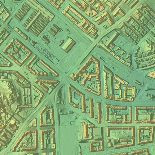
TerrasolidBatch is a software solution developed for automating the processing of large volumes of LiDAR and photographic data, significantly reducing the time required for analysis. It is intended for large-scale projects such as regional mapping, infrastructure network analysis, and natural resource exploration.
The software enables users to define processing parameters and execute automated workflows, minimizing manual effort and maximizing efficiency. TerrasolidBatch is ideal for companies and organizations handling extensive spatial datasets and requiring fast, accurate, and consistent results.
Unesite svoj pojam za pretragu u polje ispod kako biste brzo pronašli sadržaj koji tražite. Pritisnite ‘Enter’ ili kliknite na dugme za pretragu da biste videli rezultate.