Zenmuse LiDAR 2 – Revolution in Precision Mapping and Analytics

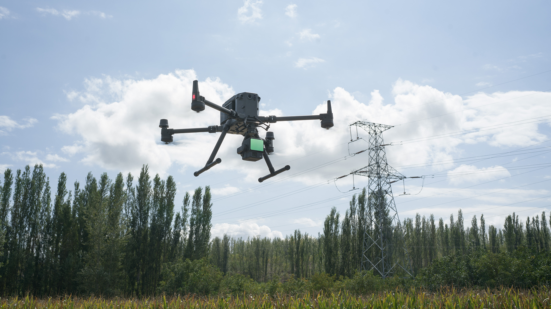
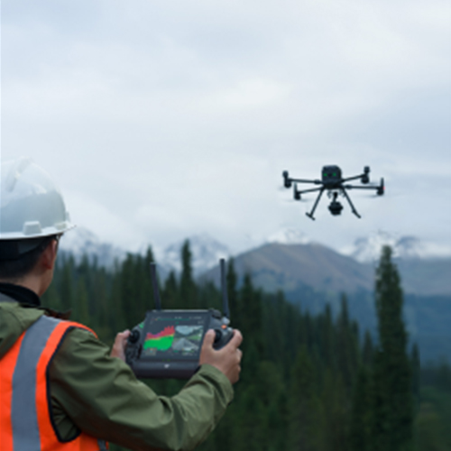
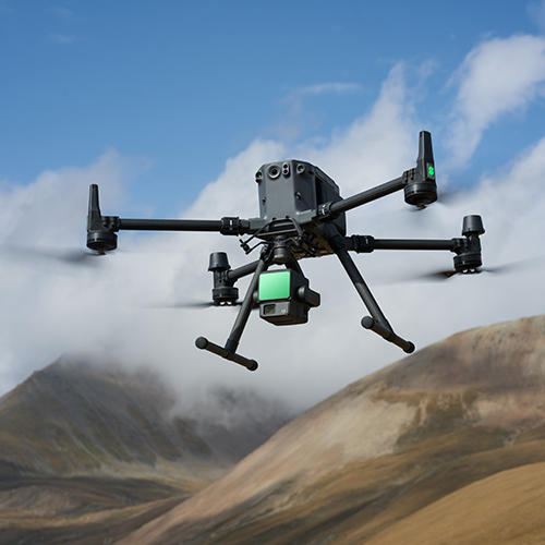
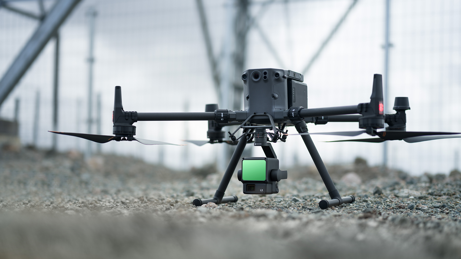
Zenmuse LiDAR 2 is an advanced LiDAR system designed for professionals who demand exceptional accuracy and efficiency in data collection. This device combines cutting-edge sensors and laser scanning technology to create detailed 3D models and maps, even in the most challenging conditions.

Key Features:
  • High Precision: Creates 3D maps and models with millimeter-level accuracy, delivering reliable results for complex projects.
  • Speed and Efficiency: Capable of quickly scanning large areas, saving time and resources.
  • Multi-Echo Capability: Precisely scans through vegetation, making it ideal for forested and complex terrain.
  • Integrated Camera: Combines laser scanning with detailed visual data for comprehensive analysis.
  • Automatic Data Processing: Allows for fast generation of actionable insights with minimal human intervention.

Applications:

  • Aerial Scanning: Perfect for drone-mounted mapping of hard-to-reach or inaccessible locations from the air.
  • Precision Engineering Mapping: Suitable for urban planning, construction projects, and infrastructure analysis.
  • Environmental Studies: Enables monitoring of terrain changes, forest analysis, and tracking of ecological factors.
  • Industrial Applications: Detailed facility inspections, warehouse analysis, and risk assessment.

Advantages:

Zenmuse LiDAR 2 provides the ability to collect high-quality data in real time, enabling professionals to make informed decisions faster and more accurately. Its ability to combine precision, speed, and versatility makes it an indispensable tool for industries such as construction, mining, forestry, and energy.

This device revolutionizes mapping and analytics, allowing professionals to elevate their projects to a whole new level of efficiency and precision.

Unesite svoj pojam za pretragu u polje ispod kako biste brzo pronašli sadržaj koji tražite. Pritisnite ‘Enter’ ili kliknite na dugme za pretragu da biste videli rezultate.