
DJI software represents the pinnacle of technological advancements in data collection, processing, and analysis. Designed to enhance efficiency and precision across various industries, these tools enable professionals to easily plan missions, manage data, and make informed decisions. Regardless of task complexity, DJI software provides flexible solutions tailored to the specific needs of users. Integrated with DJI technologies, it ensures seamless functionality and opens new possibilities for inspection, mapping, monitoring, and analysis. With advanced features and an intuitive design, DJI software helps users achieve exceptional results in their work.
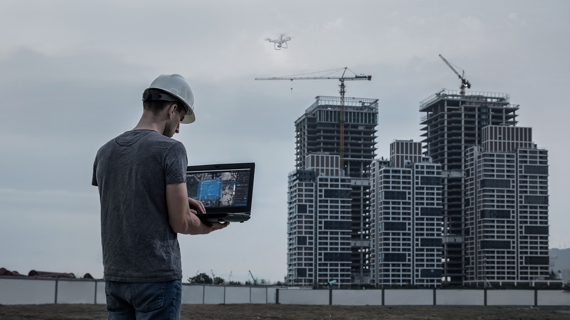
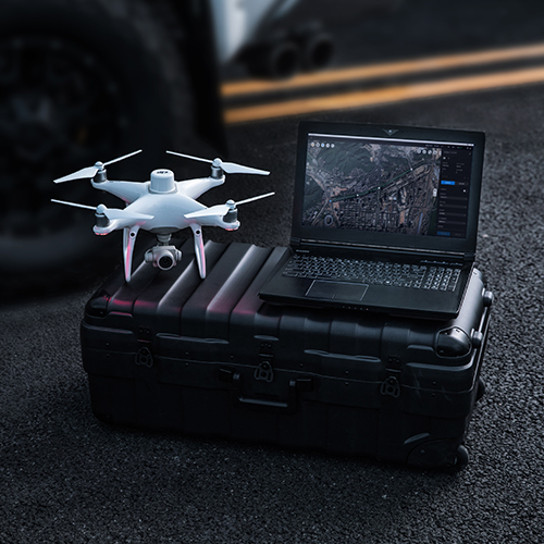
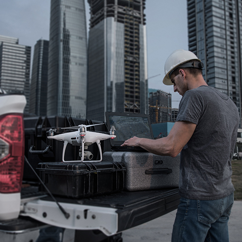
DJI Terra is a powerful software designed for fast and precise terrain mapping, 2D and 3D reconstruction, and data analysis. Utilizing advanced photogrammetry algorithms and LiDAR data support, it enables visualization and detailed mission planning, making it an essential tool for various industries. From infrastructure inspections and construction projects to surveying and natural resource management, DJI Terra offers ease of use and flexibility.
Its real-time data processing capabilities allow for quick and accurate decision-making in the field. Integrated with DJI drones, it provides a comprehensive solution for data collection and analysis, optimizing processes and increasing efficiency. No matter the complexity of the task, DJI Terra delivers tools to ensure professional results and enhance workflows across different sectors.
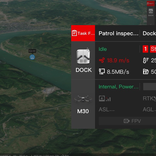
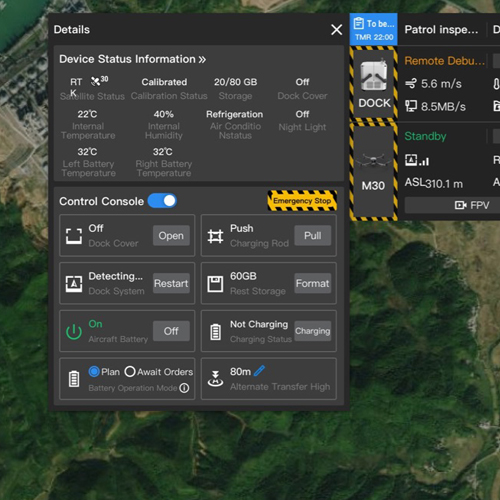
DJI Flight Hub 2 is an advanced platform for managing missions and analyzing data in real-time. Designed for professionals seeking to enhance their operations, it provides centralized planning, monitoring, and information sharing in one place.
With the ability to display data in 2D and 3D formats, the software enables precise route planning, progress tracking, and data analysis. All information is accessible in real-time through cloud technology, allowing faster and more efficient decision-making regardless of location.
Flight Hub 2 supports integration with various industry tools and allows users to tailor functionalities to meet the specific needs of their projects. Whether it’s infrastructure inspection, terrain mapping, or monitoring complex systems, this software offers high-level management and analysis tools.
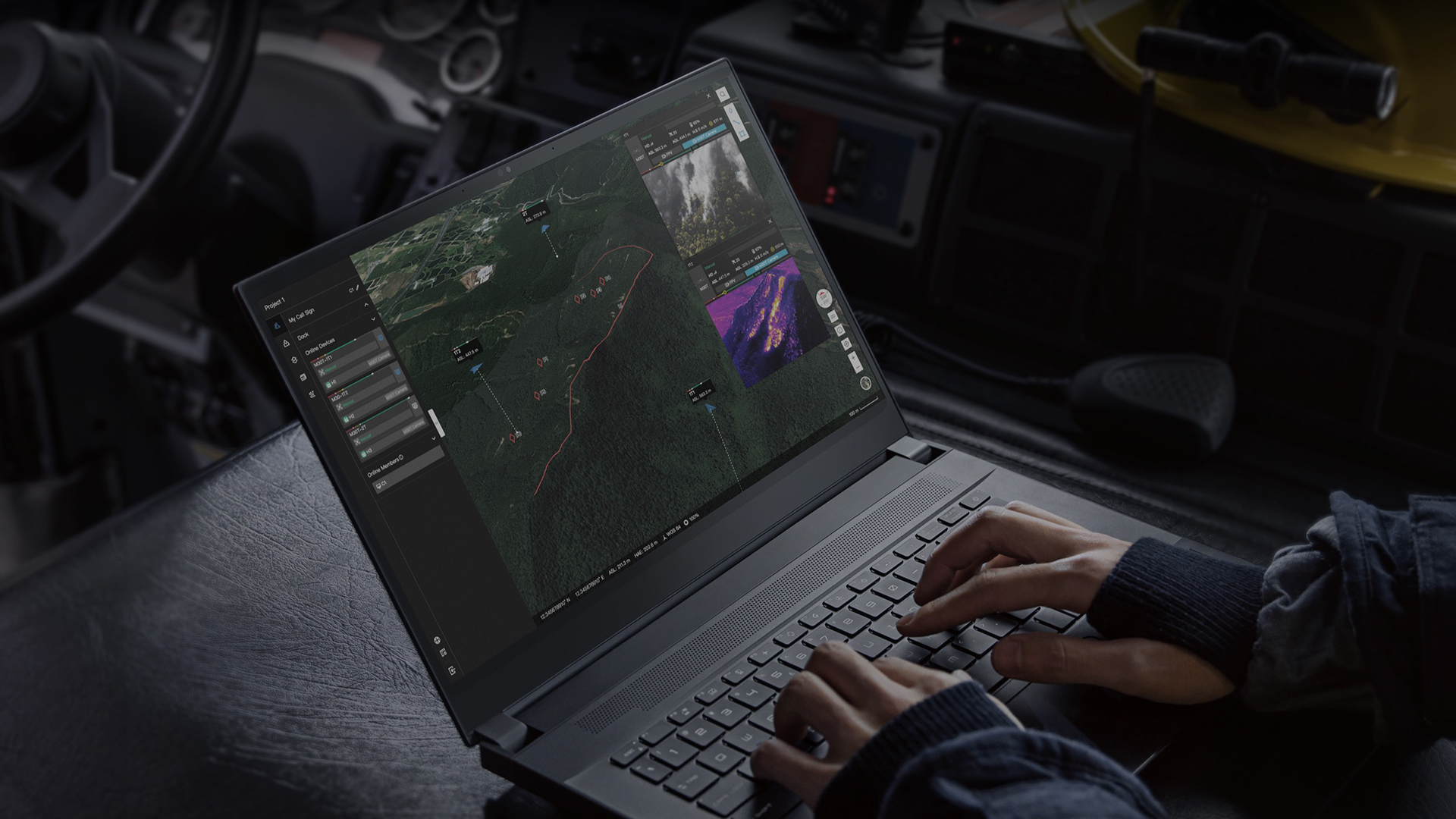
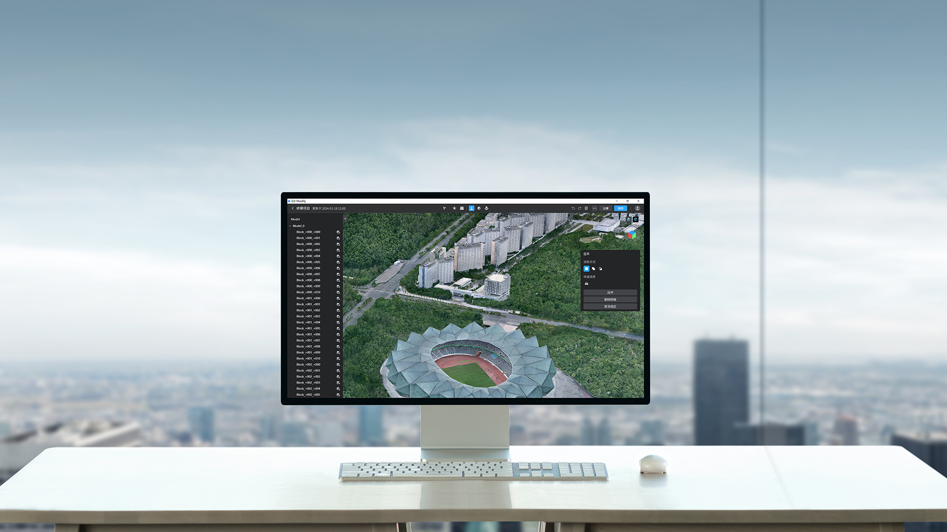
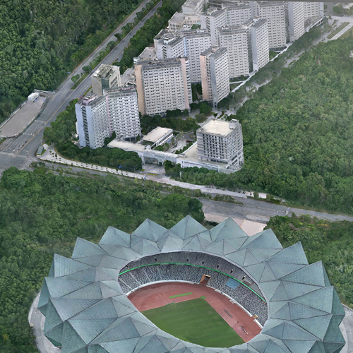
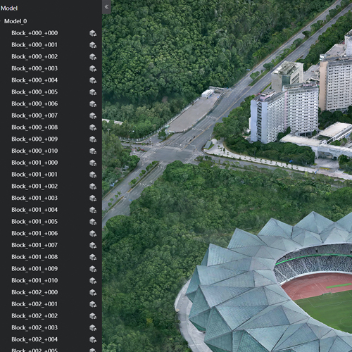
DJI Modify is a specialized software designed for customizing drone settings and processing collected data. It is intended for users who require tailored solutions for their specific industrial needs.
The software enables advanced data processing, customization of software parameters, and integration with other analysis platforms. DJI Modify offers flexibility, ensuring that each device and the collected data meet the specific requirements of a project, making it an ideal tool for industries such as surveying, energy, and infrastructure.
These platforms streamline workflows and allow users to maximize the potential of DJI technology.
Unesite svoj pojam za pretragu u polje ispod kako biste brzo pronašli sadržaj koji tražite. Pritisnite ‘Enter’ ili kliknite na dugme za pretragu da biste videli rezultate.