
Bentley Systems is a global leader in developing software solutions that enable precise design, modeling, and management of infrastructure projects of all types. Their technology includes advanced tools for engineering design, analysis, and visualization, making them indispensable for professionals in construction, energy, transportation, utilities, and many other sectors. With a focus on digital twins, 3D modeling, and data integration, Bentley software allows users to manage complex projects with greater efficiency, lower costs, and improved accuracy. These solutions are not just tools for design but comprehensive platforms for managing the entire lifecycle of infrastructure projects, from conceptual design to maintenance and optimization.
With Bentley Systems software, enhance every step of your infrastructure projects – from design to construction and maintenance. Digital tools that meet the modern demands of engineering, delivering more efficient solutions, better coordination, and greater control. Ideal for engineers, designers, and all professionals in the construction industry.
Connect with leading software solutions – now available through our web shop.
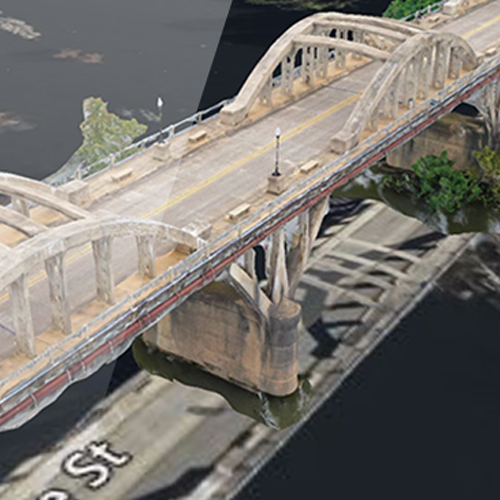
iTwin Capture is a powerful tool for collecting and processing spatial data, enabling the transformation of the real world into highly accurate digital 3D models. It is designed for professionals in infrastructure, construction, urban planning, and mapping, providing tools for rapid and precise data collection.
The software enables seamless integration with other Bentley tools, ensuring a complete workflow—from data collection to analysis and implementation. iTwin Capture helps users optimize their operations, reduce costs, and improve decision-making.
MicroStation is leading software for 2D and 3D design, modeling, and visualization, supporting a wide range of infrastructure and construction projects. Designed for professionals, it enables precise modeling of complex infrastructure such as roads, buildings, bridges, and plants.
Its advanced analysis and visualization tools help users enhance workflows, minimize errors, and improve project efficiency. MicroStation offers tools to deliver professional results at every stage of the design process.
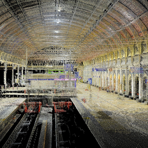
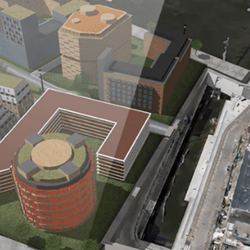
OpenCities is specialized software for managing and planning urban spaces, enabling the integration of spatial data and digital models in real time.
This tool provides accurate information for city development, infrastructure optimization, and improving the quality of life in urban areas. Integration with GIS and BIM data allows users to make better decisions regarding urban projects and resource management. OpenCities is a key tool for developing smart cities.
OpenComms is specialized software for designing, implementing, and managing communication infrastructure networks. It provides tools for precise planning and monitoring of networks, including fiber optics, wireless communications, and other telecommunication systems.
The software enables better resource management and operational cost reduction, making it ideal for companies managing complex networks and communication systems.
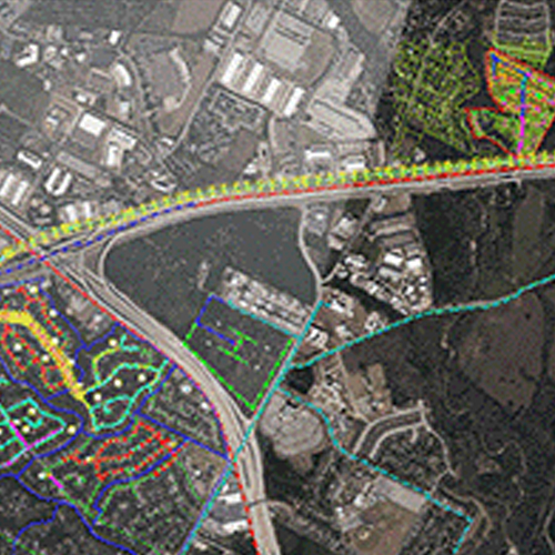
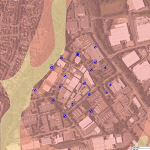
OpenGround is a tool for collecting, analyzing, and managing geotechnical data, providing critical information about soil conditions for construction and infrastructure projects. Its digital database enables easy information sharing among teams and supports informed decision-making.
This software supports soil layer analysis, stability assessment, and reporting, enhancing the safety and efficiency of construction work.
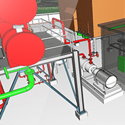
OpenPlant is software designed for the design, construction, and maintenance of industrial plants. With advanced tools for 3D modeling, it enables users to accurately plan complex systems in sectors like energy, chemical production, and manufacturing.
Integration with digital twins and other tools facilitates efficient team collaboration and process optimization, reducing costs and increasing productivity.
OpenRoads is a tool for designing roads and analyzing transportation networks. With powerful 3D modeling capabilities, it allows precise planning of roads, highways, and bridges.
Additionally, the tool provides traffic simulations and environmental impact assessments, making it essential for modern infrastructure projects. OpenRoads simplifies decision-making and improves project sustainability.
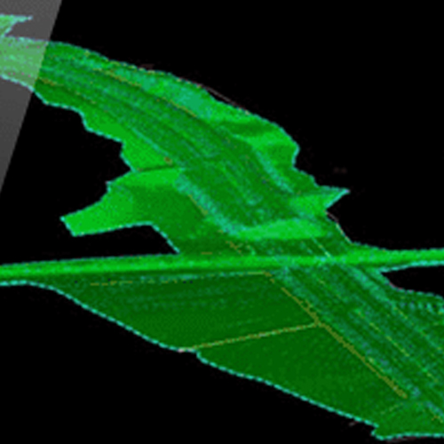
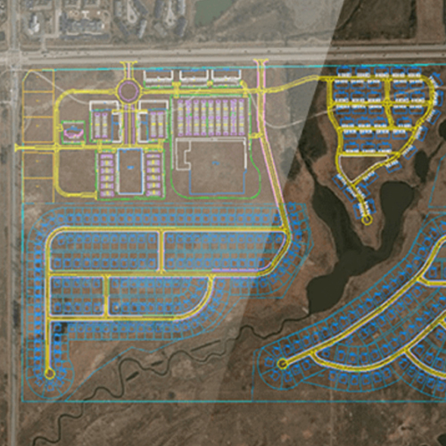
OpenSite is a powerful software designed for terrain analysis, construction site planning, and resource optimization. It provides tools to create detailed site plans, analyze land suitability, and estimate costs, streamlining the early stages of project development.
With an intuitive interface, OpenSite simplifies decision-making, helps reduce costs, and accelerates project timelines. Its robust capabilities make it an essential tool for civil engineers, urban planners, and construction professionals managing residential, commercial, or industrial site projects.
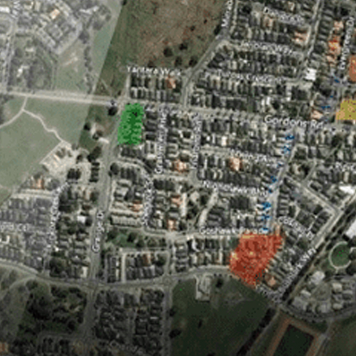
OpenUtilities Designer is a GIS software designed for planning, designing, and managing utility networks, including electricity, gas, and water systems. It combines GIS capabilities with network design and simulation tools, enabling efficient mapping, issue identification, and resource optimization.
With support for digital twins and integration with Bentley solutions, it provides real-time insights to enhance operational efficiency, reduce costs, and improve service quality for utility companies.
Orbit is a powerful software designed for processing and analyzing field data collected through drones, mobile devices, and stationary systems. It enables users to visualize spaces and objects in detailed 3D formats, providing precise information essential for inspection, planning, and maintenance projects.
With tools for managing large datasets, Orbit simplifies workflows and enhances productivity by integrating spatial data with other project requirements. Its advanced capabilities support various applications, from infrastructure monitoring to urban planning and resource management, making it an indispensable tool for professionals in diverse industries.
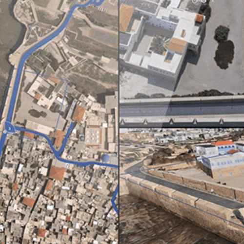
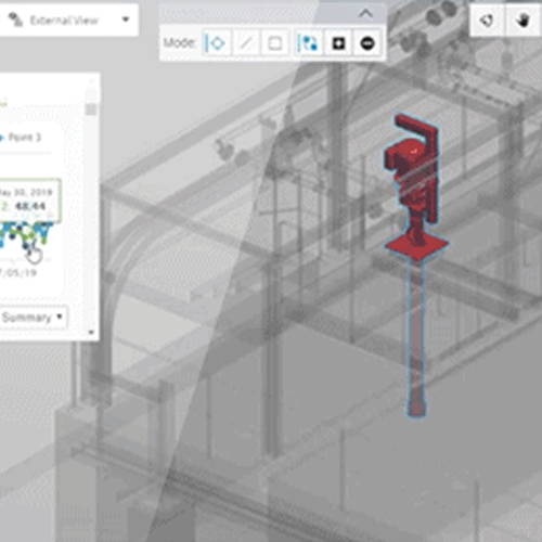
PlantSight is an advanced solution for creating and managing digital twins of industrial plants. It integrates data from multiple sources into a unified digital model, offering real-time insights into operations, maintenance, and system performance.
With tools for visualizing and analyzing plant data, PlantSight helps optimize maintenance schedules, reduce operational risks, and improve collaboration by providing a single source of truth.
Ideal for industries like energy and manufacturing, PlantSight enables smarter decisions and more efficient operations.
Unesite svoj pojam za pretragu u polje ispod kako biste brzo pronašli sadržaj koji tražite. Pritisnite ‘Enter’ ili kliknite na dugme za pretragu da biste videli rezultate.